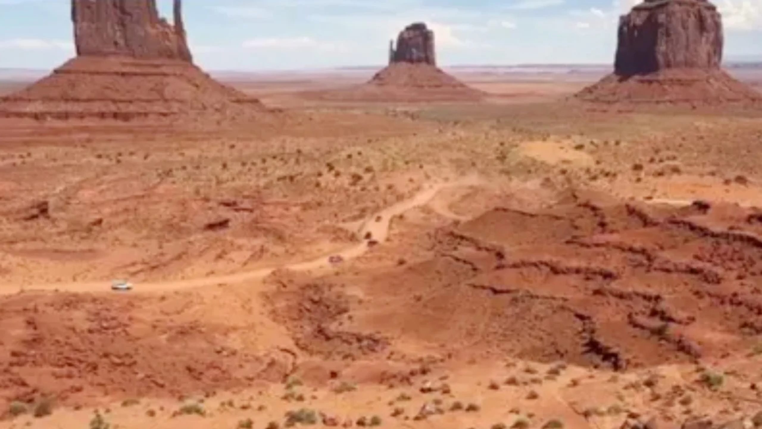
The word “desert” usually brings to mind the Sahara, Death Valley or vast expanses of sand. In reality, however, the largest desert on Earth is not sandy at all; it is Antarctica, a continent covered in ice across thousands of kilometres.
By the geological definition, a desert is determined not by temperature but by the amount of annual precipitation. The US space agency NASA says a region that receives about 10 inches of precipitation a year or less is considered a desert.
By that definition Antarctica is the largest desert on Earth. According to the United States Antarctic Program, the continent receives an average of only 2 inches of rain or snow a year. It is therefore one of the coldest, windiest and at the same time driest regions in the world.
Antarctica is vast in area too. Covering about 5.4 million square miles, the continent is roughly one and a half times larger than the Sahara desert.
Snow blowing in the air in Antarctica may look like fresh snowfall, but in most cases it is old ice particles being blown about repeatedly by the strong wind. Fresh snowfall there is very limited.
The remarkable thing is that despite such low precipitation, Antarctica is covered by a layer of ice several kilometres thick. It holds about 90 percent of the world’s total ice and about 70 percent of the world’s fresh water.
Because of the extreme dryness and temperatures far below freezing, NASA often compares Antarctica’s environment with that of Mars. The agency says trial operations of some of the robots sent to Mars were also carried out in Antarctica, because there are significant similarities between the environmental characteristics of the two places.
In experts’ view, Antarctica proves that a desert does not necessarily mean sand and extreme heat. Rather, any region with very low precipitation over a long period falls within the definition of a desert, whether it is covered in ice or in sand.
বাংলায় মূল প্রতিবেদন পড়ুন · Read the original Bengali report