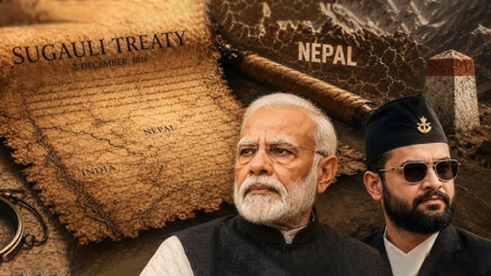
Nepal’s government cannot confirm whether it holds the original signed document of the historic 1816 Sugauli Treaty, which is regarded as the legal basis for its border disputes with India. Speaking before the House of Representatives, the lower house of Nepal’s parliament, Foreign Minister Shishir Khanal indicated that the government cannot confirm whether the original signed document of the 1816 treaty remains in its custody.
The foreign minister said that while some records exist in Nepal’s National Archives, searches across various government departments have failed to locate the final, original certified document.
Addressing parliament, Khanal said: “The Nepal government does not have clear information on whether we possess the treaty document. While records show certain treaty documents are held in the National Archives, we do not have definitive information confirming these are the authentic original certified documents.”
In 2019, Nepal’s then-foreign minister Pradeep Gyawali had claimed that copies of the treaty were preserved by Nepal.
The Sugauli Treaty was signed with the East India Company in 1816 following the Anglo-Nepalese War, which lasted from 1814 to 1816. It serves as the primary legal foundation for Nepal’s modern geographic boundaries. The treaty was signed by Lieutenant Colonel Paris Bradshaw on behalf of the East India Company and by Raj Guru Gajaraj Mishra on behalf of Nepal’s King Girvan Yuddha Bikram Shah.
The Sugauli Treaty predates India’s independence. Since India gained independence in 1947, bilateral relations between the two countries have largely been governed by other agreements. However, the treaty remains the fundamental basis in matters of border disputes. Current India-Nepal border arrangements are governed by the 1950 Treaty of Peace and Friendship between India and Nepal, along with technical documents from a joint bilateral working group.
The central border dispute between the two countries currently concerns the Kalapani region in the Greater Himalayas, which lies within India’s geographic boundary. When India’s Ministry of Home Affairs published a new map in 2019, Nepal formally objected, with Kathmandu claiming the region as part of its Darchula district in Sudurpashchim Province.
The India-Nepal border dispute intensified after India and China reached an understanding to reopen a trade route through the Lipulekh Pass via Limpiyadhura. Nepal has maintained that Lipulekh, Limpiyadhura, and Kalapani are its territory, while India’s position is that these areas fall within its Uttarakhand state.
In June this year, Nepal’s Prime Minister Balen Shah claimed that even as Nepal continues to accuse India of occupying its territory, the Himalayan nation itself occupies Indian territory in various locations.
Nepal’s foreign ministry later stated that Kathmandu’s official position on the disputed border areas, including Limpiyadhura, Lipulekh, and Kalapani, remains unchanged, and that these unresolved border issues would be settled through bilateral diplomatic dialogue and mutual understanding with India. Nepal subsequently indicated it wants a swift resolution rather than a prolonged dispute and is keen to further strengthen relations with India.
Speaking recently at an international conference, Foreign Minister Shishir Khanal said: “Nepal sincerely welcomes the prosperity of both our neighboring countries. Nepal wants to strengthen bilateral relations with both nations based on sovereign equality, mutual respect, mutual benefit, and sensitivity to each other’s legitimate interests and concerns.”
বাংলায় মূল প্রতিবেদন পড়ুন · Read the original Bengali report