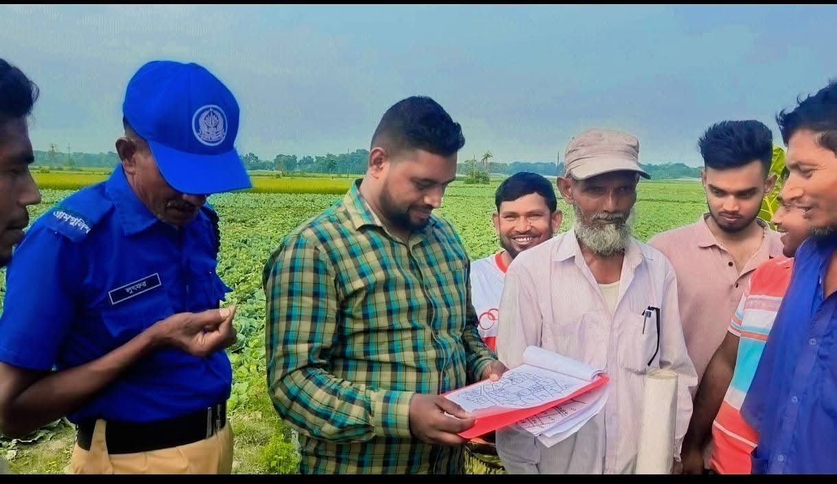
A government bypass road in Jashore Sadar upazila’s Lebutala union, held under illegal occupation for more than three decades, has finally been freed. The road serves four villages, among them Bir Narayanpur.
On Thursday the district administration recovered the occupied stretch and fixed the road’s boundary. Thousands of people in Lebutala, Bir Narayanpur, Shurshonadah and Fulbari villages now hope for an end to years of hardship, and local farmers and students in particular have welcomed the move.
The occupation came to the district administration’s attention after Dainik Notun Shokaler Barta and other media reported on it on August 15. The deputy commissioner then ordered an administrative inquiry and the necessary action.
From 11am to 4pm on Thursday a government surveyor measured the road, and fixing its boundary ended the long occupation. Village police marked the road’s edges with red flags. Local community leaders also helped officials with the work of clearing the road.
According to local sources, the government bypass road runs for about two kilometres through the fields of Lebutala, Bir Narayanpur and Shurshonadah, passing the Bir Narayanpur Eidgah before joining the Jashore Upashahar-Tailakup road. A few people had occupied about one kilometre of it and farmed the land for 30 to 35 years. Although the two ends of the road were open, the middle section was closed, so residents could not use the road as a whole.
For years this made it hard for farmers to carry crops from the fields to their homes or to market, for students to get to school, and for ordinary people to get about.
The deputy commissioner took the matter seriously and ordered the upazila nirbahi officer to investigate. Jashore Sadar’s Assistant Commissioner (Land), Mahir Dayan Amin, was then told to take the necessary steps. He inspected the site on October 13 and found several parts of the road illegally occupied, after which the process of freeing it went ahead.
Land office records show the road as a government thoroughfare under khatian No. 1 in the CS, SA and RS records and on the mouza map. The road is about two kilometres long and 30 to 40 feet wide.
Residents expressed their satisfaction with the district administration and the land authorities for freeing the road after several decades. They say that if it is quickly repaired and made fit for traffic, the bypass will play an important part in the area’s communications and its farm economy.
বাংলায় মূল প্রতিবেদন পড়ুন · Read the original Bengali report